Understand transportation as it happens. At every site.
Real-time transportation analysis and reporting for individual intersections, corridors, and sites. Understand movement, conditions, and change with the roadway context behind every finding.From street activity to a clear picture.
Observe movement.
See vehicles, pedestrians, and cyclists moving through an intersection. Understand who uses the site and how their paths connect.
128Pedestrians
346Vehicles
24Cyclists
Understand conditions.
Bring volumes, speeds, queues, delays, and obstructions into one view of how the site is operating.
Traffic volume
1,284
vehicles
08
09
10
11
12
13
14
Track change.
Compare locations and observation periods to see where conditions differ and how patterns develop.
Your transportation picture, continuously updated.
128Pedestrians
346Vehicles
24Cyclists
We're redefining how safety gets measured
Capture vehicles, pedestrians, and their interactions using existing cameras and roadside sources.
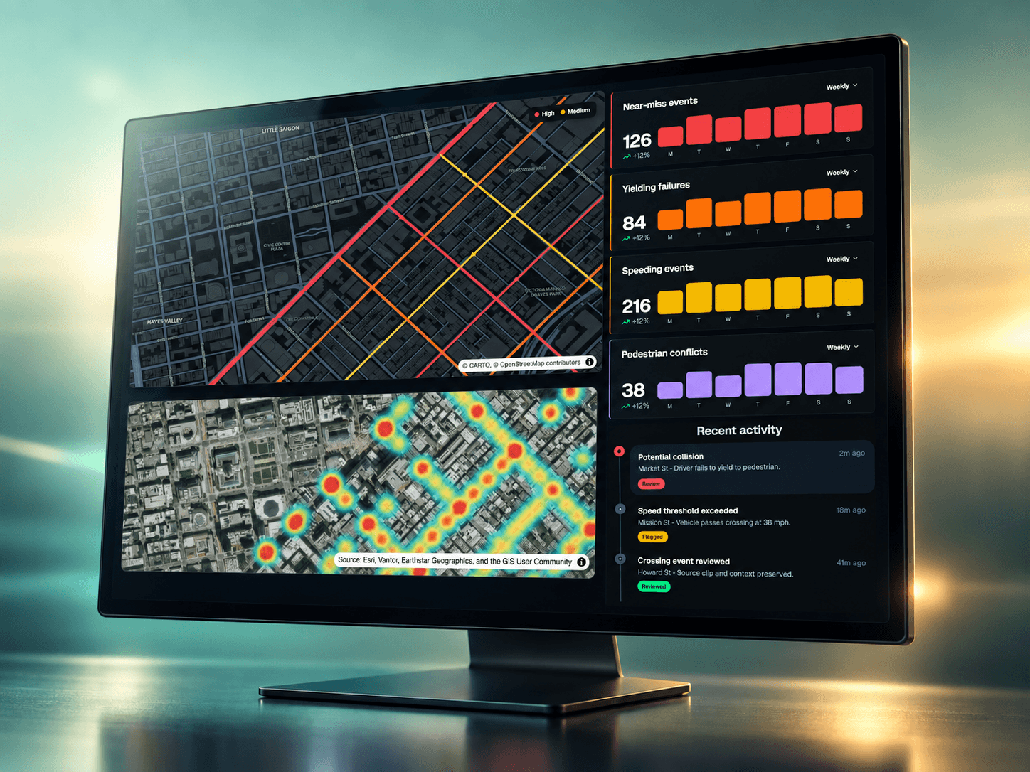
Built around the places you manage.
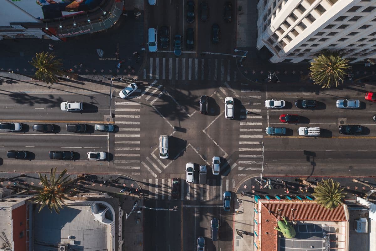
IntersectionsUnderstand crossing and turning activity.
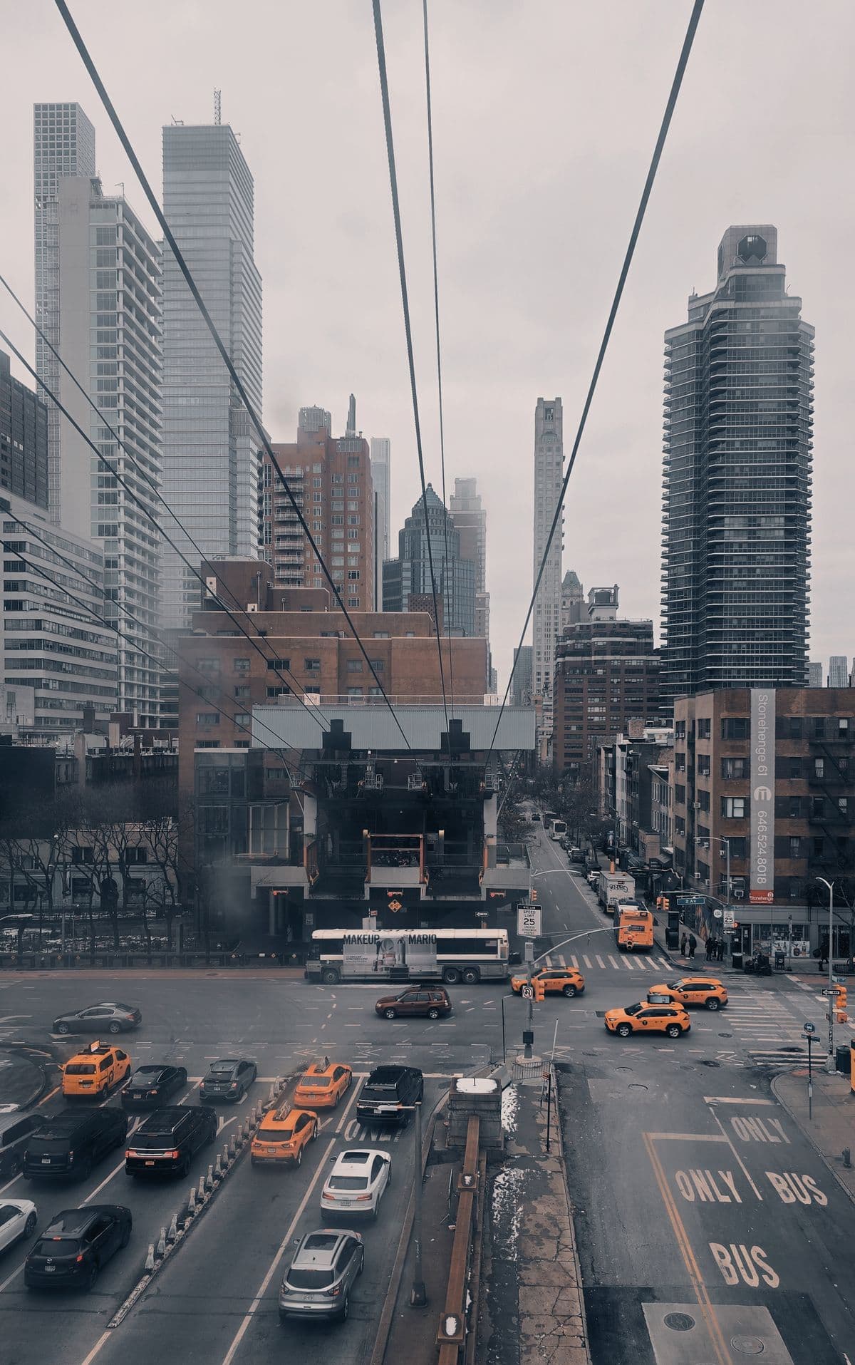
CorridorsCompare movement across connected locations.
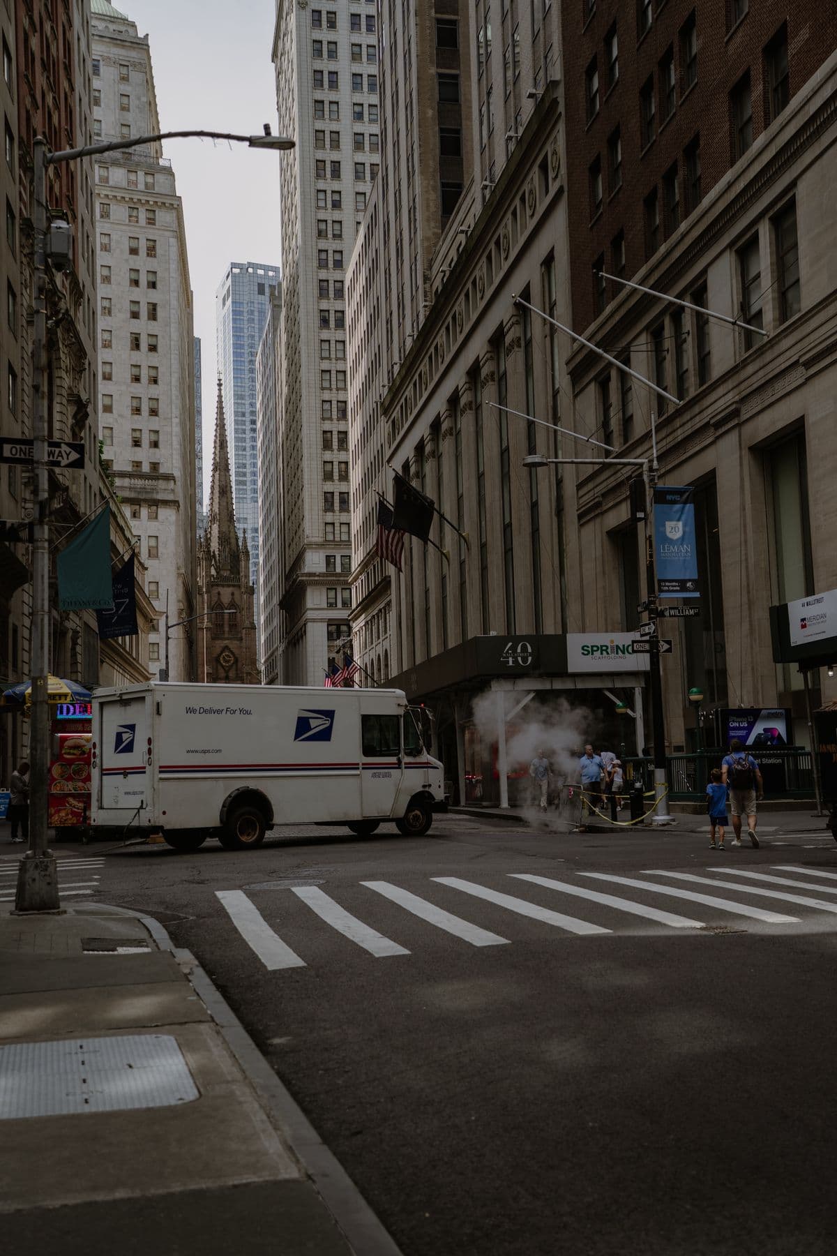
Curbs & loading zonesSee how stopping and loading affect flow.
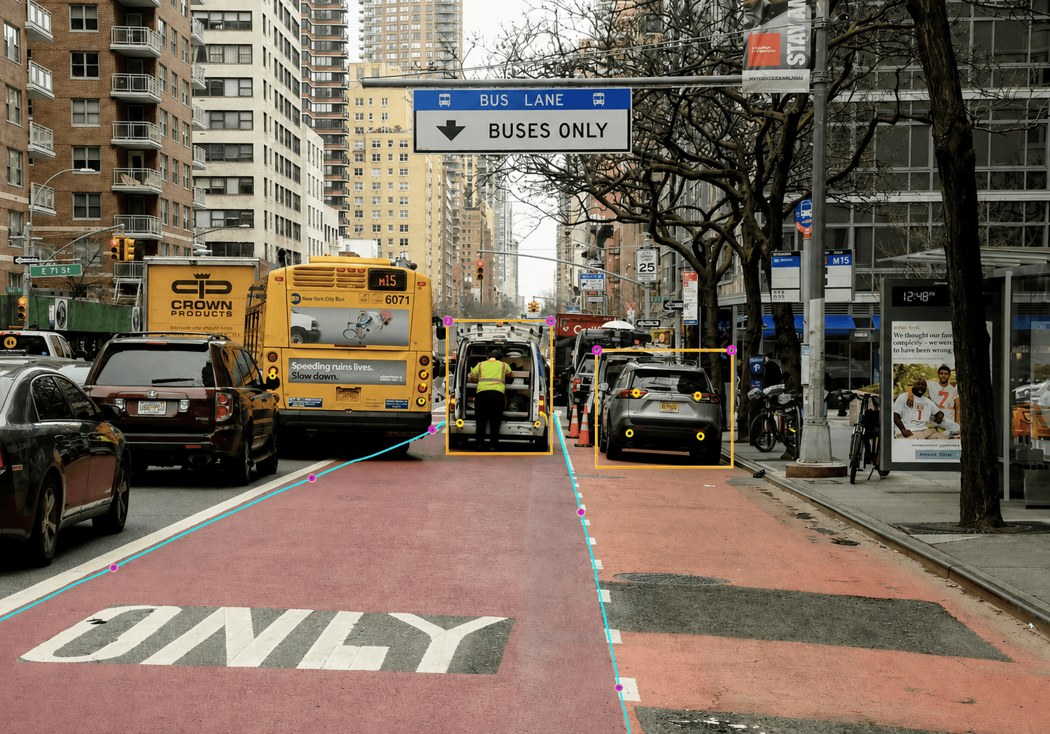
Transit stopsObserve vehicle access and surrounding activity.
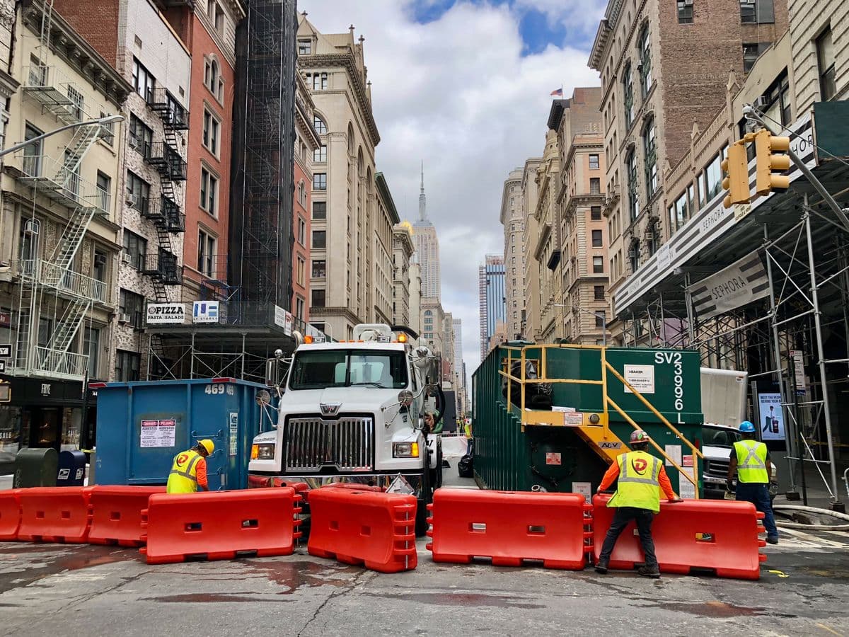
Work zonesTrack movement through temporary road configurations.
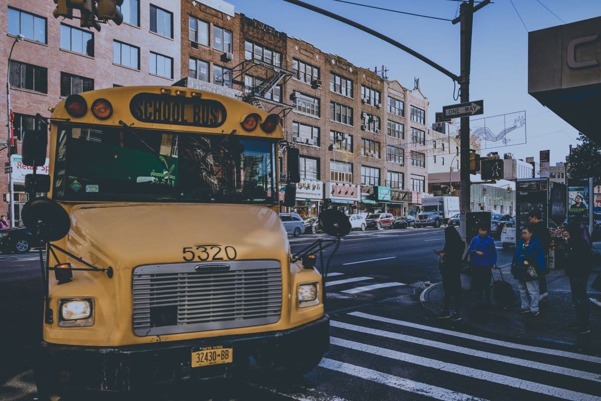
School zonesUnderstand arrival, dismissal, and crossing activity.
Operations grounded in observation